
Weather is only the beginning. See the environment around your flight.
Weather, airspace, GNSS environment and space weather brought together to improve operational context before takeoff.
The essentials, made visual
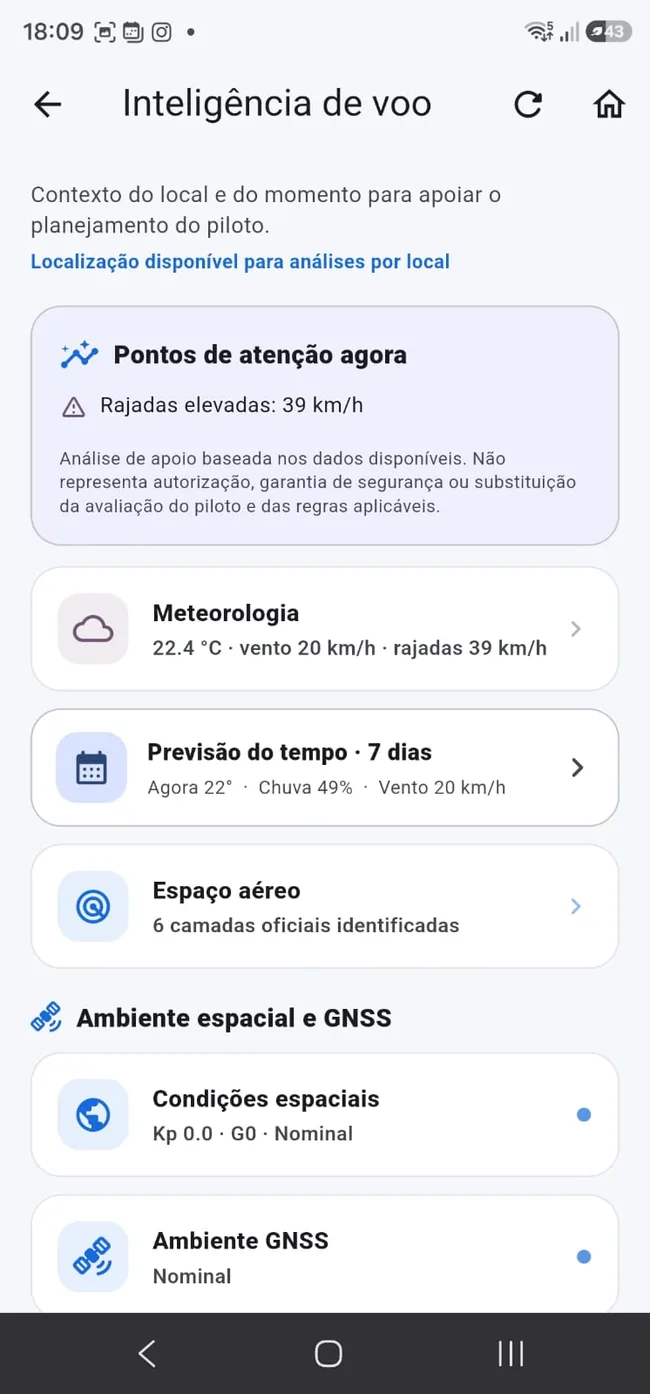
Check temperature, wind, gusts, rain and cloud conditions and forecasts. Visual map layers add spatial context.
- Temperature
- Wind and gusts
- Rain and forecast
- Cloud visual layer
Kp is not decoration
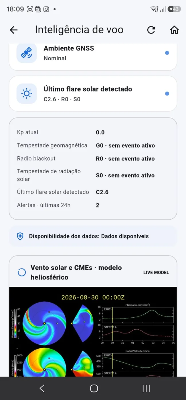
Solar and geomagnetic disturbances can affect navigation and communication systems. Takeoff Max contextualizes indicators as an additional situational-awareness layer.
- Kp index and geomagnetic storm
- Radio blackout
- Solar radiation storm
- Solar flare
- Solar wind and CME
- Heliospheric/GNSS environment context
Weather without aviation context is only half the picture
Flight Intelligence connects to map and airspace layers, reducing the number of disconnected tools a pilot needs.
- Aerodromes and heliports
- CTR/TMA and P/R/D areas
- Weather map layers
- Aviation integrations evolving over time
Frequently asked questions
Does Takeoff Max measure Kp with my phone?
No. It presents and contextualizes data from services and sources used by the ecosystem; your phone is not a space-weather sensor.
Does a “good” condition guarantee I can fly?
No. Conditions change and regulatory, local and operational requirements also apply.
Why can space weather matter to drones?
Solar and geomagnetic events can affect navigation and communication systems. Actual impact depends on the event, equipment and operational context.
Join the launch
Get Takeoff Max launch news and special launch conditions.